
Clarksville Neighbors by Parcel
For Clarksville neighbors, a block is best understood as a set of nearby parcels. The county’s public sources can establish a map relationship, an assessment or ownership record, and a recorded deed or plat relationship. They do not merge those layers into a list of everyone living nearby. Start from the focal address, identify its parcel, and treat each surrounding lot as a separate record question. That method is more accurate when a property is owned by a trust, business, estate, or a person receiving tax mail elsewhere.
| Source | What It Shows About a Block | Access |
|---|---|---|
| Stratum / Public Parcels | Parcel outlines, labels, lot or acreage context, and visual adjacency | Public map browse; not a survey and not an occupant list. |
| Assessor property cards | Assessed owner, separate mailing and situs fields, values, and transfer links | One card per parcel through Spatialest or the Assessor. |
| Register and recorded plats | Legal subdivision or block relationship and recorded transfer parties | Name-index, paid remote service, public room, counter, mail, or email route; not street browse. |
| RPC map hub | Subdivision, ward, flood, ZIP, growth-plan, and annexation context | Public map hub; confirm delivery ZIP facts with USPS. |
| Election tools | One-person registration confirmation and Commission contact | No public nearby-voter browse from the state form. |
| Archives and library | Dated directory, yearbook, newspaper, or civic-collection research | Catalog, reading room, and staff consultation; no current block roster. |
The distinction between owner and current occupant matters. A property card’s owner and mailing address are assessment and tax information. The property address is the parcel location. Neither field proves every person at the address, and neither should create a personal roster of Clarksville neighbors.
Map a Clarksville Neighbor Block
The documented method is map browsing, not a radius or buffer search. Montgomery County’s Stratum viewer supports address or general search, map clicks, parcel selection, visible parcel-number, acreage, and lot-number attributes, and pan and zoom. The inspected interface did not document a public radius or buffer tool. Describe only the adjacent parcels selected or visible through the map, and save the map-view date with each parcel identifier.
- Find the focal property in Stratum by address or map position, then select the parcel polygon.
- Record the parcel ID, visible lot or acreage label, and subdivision or legal-description clues for that first parcel.
- Pan or zoom to each immediately adjacent parcel and select it individually. Keep each map relationship separate from the property-card details.
- Open the associated Assessor card where available and compare the separately labeled property address, owner, mailing address, transfer panel, and parcel reference.
- Use the Register or a recorded plat only when a legal description, lot, or block relationship needs confirmation. Stop when legal descriptions no longer match or a parcel split or combination appears.
The official Stratum map is the county source for viewing Clarksville neighbors as nearby parcels and surrounding lots.
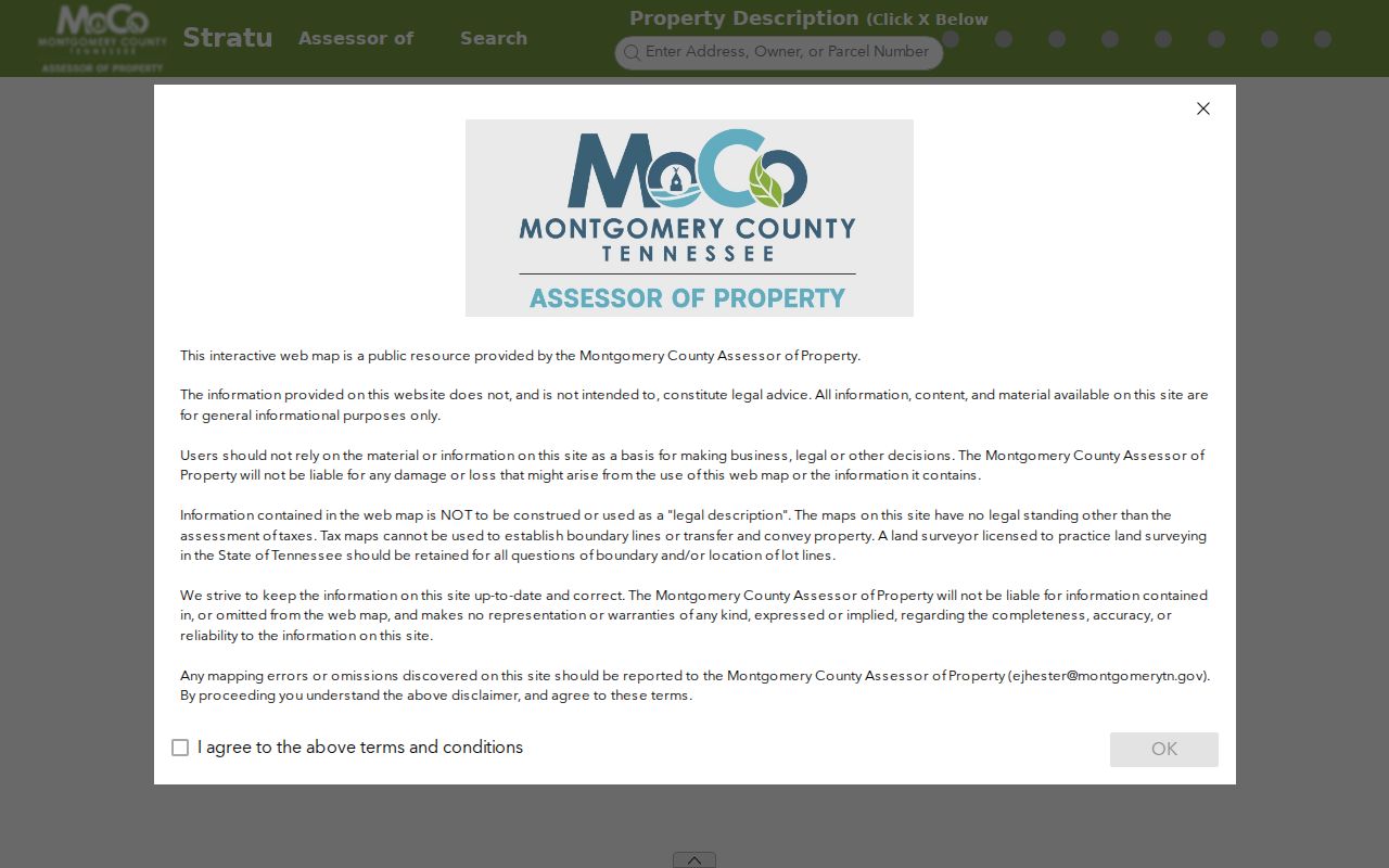
The map provides spatial context. A recorded plat or survey, not a screen view, controls a disputed boundary or legal lot description.
Clarksville Neighbor Parcel Cards
The Montgomery County Spatialest property search is the next Clarksville neighbors source after a parcel is found. Its public configuration supports general, map, advanced, and shape searches. A card can show a property address, assessed owner, owner mailing address, parcel identifiers, legal or subdivision placement, values, land and building characteristics, and a transfer panel. The configuration has a 300-result count and a 500-row Excel export limit, but a large result set remains a property-roll view, not a resident directory.
| Property-card field | How it helps with a nearby parcel |
|---|---|
| Property Address | Identifies the parcel’s situs location, not every person at that location. |
| Owner and Mailing Address | Shows assessment and tax-recipient information, which may be elsewhere. |
| Parcel ID | Connects the map polygon, card, and later deed or plat research. |
| Subdivision, lot, and legal fields | Helps compare the legal placement of adjoining properties. |
| Transfer panel | Can supply instrument date, book or page, grantor, grantee, sale type or reason, price, and reference. |
Montgomery County reports 91,900 individual property record cards. That scale makes the Assessor and GIS pair useful for parcel work, but every card is parcel-level evidence rather than a claim about a household. Mailing and situs fields should be kept in separate columns, especially where a trust, entity, or estate appears in the owner field.
Note: Property and mailing fields can guide the next official record check, but neither field identifies every current Clarksville neighbor.
Clarksville Neighbors From Parcel to Plat
The legal route from a mapped block to a recorded relationship is straightforward but narrow: parcel ID and property address, then subdivision or lot and legal description, then the transfer reference, then the Register’s grantor/grantee index or the recorded plat. A plat lays out lots, blocks, and subdivision geography. It does not establish personal residence or replace a boundary survey. GIS is useful for navigation, while the recorded plat and deed provide the legal wording.
Montgomery County’s Register of Deeds indexes instruments by grantor and grantee. An address-only search should first take the taxpayer or parcel trail from the Assessor card. After it produces a transfer date, deed book or page, and named parties, retrieve the instrument through the paid subscription service, public search-room computers, counter service, mail, or email-copy procedure. The county Archives holds historic deed books from 1788 to 1997, which is the alternative for older material.
- Parcel
- A mapped unit of land with an identifier used by the assessment and GIS systems.
- Plat
- A recorded map that lays out a subdivision, lots, blocks, streets, or related land details.
- Situs address
- The street location of a parcel, distinct from the mailing address shown for notices.
- Legal description
- The formal lot, subdivision, metes and bounds, or comparable wording used in land records.
Clarksville Neighbors in RPC Geography
A block can also sit in several kinds of Clarksville geography. The Regional Planning Commission manages joint city and county planning, addressing, maps, subdivisions, zoning, design review, and growth planning. Its map hub offers city wards, county commission districts, growth-plan areas, subdivisions, flood zones, design or historic districts, annexations by decade from 1964 forward, and an Information Lookup that includes ZIP codes. These layers explain an address’s civic context without naming the people around it.
The Commission’s documents identify the Red River Neighborhood Plan adopted in February 2023 and the Britton Springs Neighborhood Plan adopted by the RPC in November 2025. Those are documented geography anchors, not member directories. If an address sits near a city edge, annexation and growth-plan layers can identify the likely city or county records custodian. USPS, rather than a parcel map, remains the source for a delivery ZIP.
The Clarksville-Montgomery County Regional Planning Commission map hub provides the overlay tools used to place nearby parcels in this wider record geography.
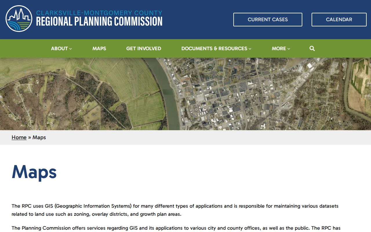
Map overlays can add ward, subdivision, flood, or annexation context, but they do not create a current neighbors list or association membership record.
Clarksville Neighbors and Voter Records
Tennessee’s voter lookup cannot produce a Clarksville block roster. It requires County, First Name, Last Name, Birth Month, and Birth Year for one-person registration or absentee context. No public street browse, ZIP filter, export, or pagination was documented. A nonmatch tells the user to verify information with the local election commission, not to search surrounding addresses.
Under Tenn. Code Ann. § 2-2-138, voter records are public to the stated extent for a Tennessee citizen, but Social Security, driver-license, and Tennessee state-ID numbers are excluded. The Montgomery County Election Commission can explain local registration questions and request procedures. The research did not locate a current voter-file request form or fee schedule, so fields, permitted uses, charges, and eligibility for a full request must be confirmed before ordering. Safe at Home may protect voter material, and a missing result must not be used to infer where anyone lives.
Clarksville Neighbor Civic Records
Clarksville neighbors may share a subdivision, planning area, or historic civic connection, but the sources inspected did not publish an official HOA, neighborhood-association, member, or block-watch directory. The appropriate route is an association’s own public contact channel, not a government parcel map. Montgomery County Archives collects civic-organization records among special collections, although donor restrictions and processing status can affect access. Such a collection is historical evidence, not a current membership roster.
| Documented community geography | What can be verified | What is not documented |
|---|---|---|
| Red River Neighborhood Plan | Regional Planning Commission plan adopted February 2023 | Current association membership or household directory. |
| Britton Springs Neighborhood Plan | Regional Planning Commission plan adopted November 2025 | Current association membership or contact roster. |
| Archives civic-organization collections | Potential processed special collections, subject to catalog and donor restrictions | A live block roster or proof of present residence. |
The Montgomery County Archives collection page and searchable catalog are the documented fallbacks for local civic-history questions. Bring the address, year, name variants, and whether the request concerns a government record or a family or civic collection.
Clarksville Neighbors Source Comparison
Official records and commercial neighbor-search categories answer different questions. Official parcels, cards, deeds, and plats identify the custodian, date, scope, and legal or assessment context. Commercial categories may combine fragments of public and other data, can be stale, may mix people with the same name, and do not replace the original custodian. A map relationship, ownership record, and historical directory listing should each remain labeled as the evidence it is.
| Official parcel and records route | Commercial neighbor-search category |
|---|---|
| Shows a source record, parcel identifier, date, and stated access limit. | May combine data with uncertain update dates or source scope. |
| Separates property location, assessed owner, mailing field, deed, plat, and historical source. | May blur distinct people, properties, or time periods into a single profile. |
| Offers a custodian, public room, clerk, Archives, or request route for verification. | Does not replace the original public-record custodian or a protected-record rule. |
For a whole named street rather than immediate adjoining parcels, the Clarksville street directory uses the longer address-to-record chain.
Clarksville Neighbor Privacy Limits
Privacy boundaries are part of a sound Clarksville neighbors search. Safe at Home, Tenn. Code Ann. § 40-38-601 et seq., provides eligible participants with a substitute address for many state and local purposes. It does not erase prior records, but it also never permits a user to infer, uncover, or bypass a protected address. Courts can seal or expunge material, voter systems protect specified identifiers, vital records restrict confidential parts, and motor-vehicle personal information has separate federal restrictions.
For a wrong official entry, contact the custodian that created it. Use the Assessor for a property-card correction path, the Register for an instrument index or recording question, the Election Commission for registration accuracy, and the court clerk for a docket issue. Tennessee’s consumer-data law does not erase government records that another public-record law requires an office to keep.
Lawful use. Use parcel and block records for lawful personal, family-history, estate, property, civic, or safety purposes. Tennessee law prohibits stalking and harassment, so never use information to watch, intimidate, track, or harm a Clarksville neighbor.