
Walk Clarksville Streets by Parcel
Start a Clarksville street directory search with one number and street name. The Montgomery County Assessor card connects that address to a parcel identifier and a transfer reference. The Stratum map then makes it possible to pan along the same Clarksville street and select nearby parcels one at a time. Those are property and assessment trails, not a roster of people at the address. Treat the owner and mailing fields as labeled record fields, then use a deed or a dated directory only for the narrower question it can answer.
- Search the Montgomery County Spatialest property card by property address, owner, or parcel. Record the property address, parcel ID, subdivision or lot data, and transfer reference.
- Open the parcel in the Stratum GIS viewer. Pan and zoom along the Clarksville street, clicking each parcel that needs its own record check.
- Compare the situs address, assessed owner, and separately displayed mailing address. A difference identifies a field to investigate, not a conclusion about who lives at either location.
- Use the transfer date, book/page, grantor, or grantee from the card at the Register of Deeds. The Register index is name based, so it is not a street-address search.
- For a dated person-specific check, Tennessee voter lookup requires county, first and last name, birth month, and birth year. It cannot browse a Clarksville street; ask CMCPL or the Archives for a relevant dated directory or street section instead.
Save the portal visit date with each parcel ID. A transfer, valuation, or map display can change, and a careful Clarksville street directory note should make clear whether it comes from a current card, a recorded document, or a historic publication. For a person-specific voter question, use the state form and then the Montgomery County Election Commission for local registration help and record procedures, rather than trying to build a street list from the voter system.
Clarksville Street Directory Card Fields
The Assessor describes 91,900 individual property record cards. Each Clarksville card is parcel-level evidence, which is why it can lead a street search without becoming a household directory. Spatialest supports general, map, advanced, and shape searching. Its configuration reports up to 300 search results and an Excel export limit of 500 rows, but those limits do not turn a property roll into a list of current residents. Use a small address set and inspect the individual cards.
| Spatialest field or tool | Type | Required | Clarksville use |
|---|---|---|---|
| General Property Search | Text | No | Starts a property, map, or advanced search. |
| Owner | Indexed value | No | Checks an assessed-owner spelling with care. |
| Property Address | Indexed value | No | Finds the physical, or situs, parcel location. |
| Parcel # / Parcel ID | Indexed value | No | Bridges the Clarksville street to parcel records. |
| Neighborhood or Subdivision | Filter | No | Supplies the map and legal-placement context. |
| Map click / parcel identify | Map selection | No | Identifies one selected parcel. |
| Shape Search | Map geometry | No | Supports a bounded property search, not a people search. |
The statewide Tennessee Property Assessment Data search is another route to Montgomery County data. It offers county, search term, owner, property address, subdivision, classification, sale-date, parcel, control-map, group, and sort controls. Neither inspected property interface documented a ZIP filter. Use address, owner, parcel, or map details rather than promising a ZIP-wide Clarksville property result.
For a view of the state search controls, see the TPAD property search.
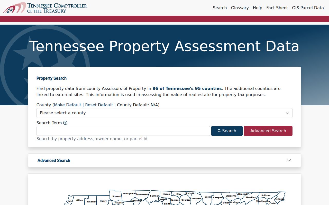
TPAD is useful for narrowing an address or owner question, while the county card supplies the parcel-specific fields used in a Clarksville street directory trail.
Clarksville Street Map Method
Stratum is the spatial companion to the property card. Its public parcel layer supports address or general searching, map clicking, and pan and zoom browsing. Parcel number, acreage, and lot number are available layer attributes. The related public service documents a maximum record count of 2,000 for its parcel-label service, but it does not document a public radius or buffer tool. For a Clarksville street directory task, map-browse from parcel to parcel rather than assuming a whole block can be selected by a distance filter.
Open the official Stratum parcel map before comparing lots along a Clarksville street.
The map provides parcel geometry and visual adjacency. A recorded plat or professional survey, rather than GIS geometry, answers a disputed line or legal boundary question.
Clarksville Street Records by Address
Several Clarksville records are tied to an address, but each carries a different kind of evidence. The useful chain is parcel card, map, transfer document, legal description, and dated directory clue. A city tax bill, permit, or plat may add a time or location detail. None establishes every person connected to a street. This distinction keeps a street directory search grounded in the record each custodian actually maintains.
| Address record | Clarksville keeper | What it can show | Access channel |
|---|---|---|---|
| Property record card | Montgomery County Assessor | Assessed owner, mailing and situs fields, parcel, legal data, transfer reference | Spatialest, TPAD bridge, Assessor counter or phone |
| Parcel geometry | County GIS / Assessor / RPC | Parcel shape, lot, acreage, overlays, nearby lots | Stratum, PublicParcels, RPC map hub |
| Recorded deed or plat | Register of Deeds | Named transfer parties, legal description, book/page | Paid remote service, public room, counter, mail, or email |
| City tax bill | Clarksville Finance | Current bill account through address, owner, parcel, bill, or year | Online lookup; Clerk and Master channel for stated prior years |
| Permit or completion notice | City or county custodian / Register | Work or recorded-completion context | Counter, phone, focused public-record request, or recorded notice |
| Directory street section | CMCPL or Montgomery County Archives | Dated name-address clue | Staff request for a precise volume or street section |
Clarksville Municipal Finance's real-estate page searches house number, street name, owner name, parcel ID, bill number, and tax year. It says street type should be omitted and gives a last-name-first owner format. Its current tax-page route sends 2024 and prior questions to the Clerk and Master. That bill account can cross-check an address, but it is not a deed or a complete property history.
Clarksville Street Directory Deed Trail
A Clarksville deed trail starts with the property card because the Register of Deeds indexes instruments by grantor and grantee. Capture the owner, grantor, grantee, instrument date, book/page, legal description, lot or subdivision, and sales reference from the transfer panel. Then retrieve the identified document and compare its legal description against the parcel. Street names and numbers can be less stable than a lot, block, parcel, or derivation reference.
The Register of Deeds document route offers paid off-site access through US Title Search, free public search-room computers, and copies in person, by mail, or by email. A mail request needs a self-addressed stamped envelope, check or money order, and a volume/page or sufficient locating information. An email request needs a contact name, phone number, and volume/page. The office does not perform a full title search, and its public county page does not state a remote-index start year.
Check the Register access instructions before selecting a copy channel.
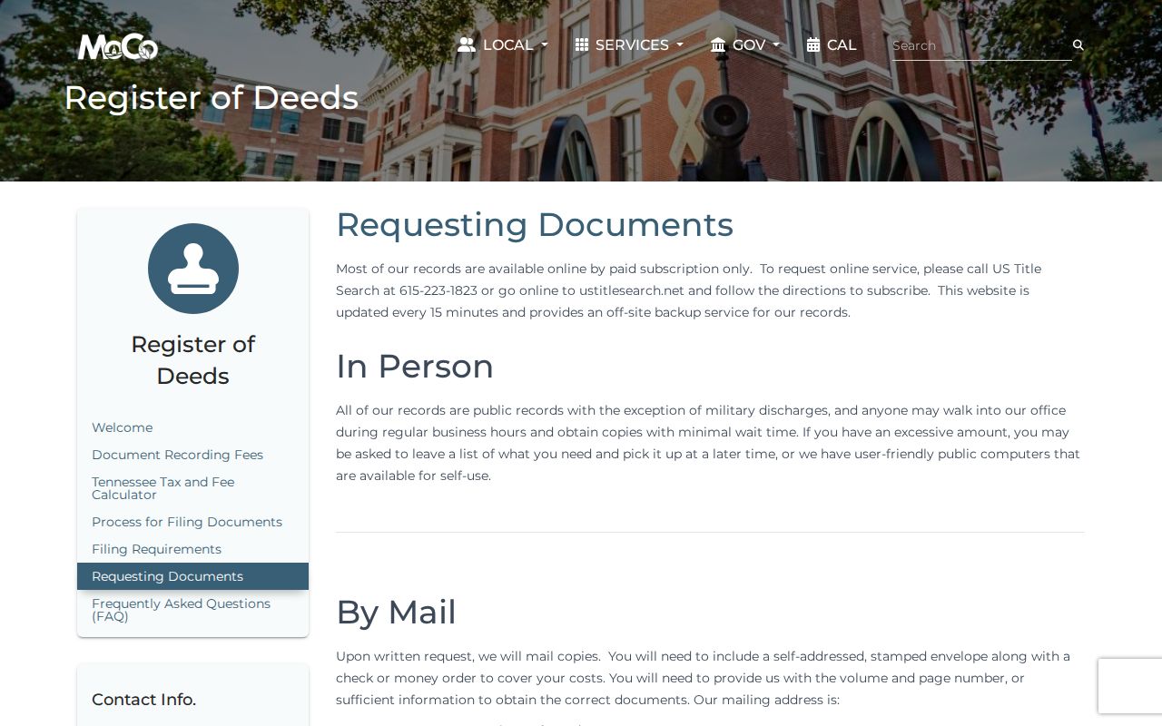
The access choices matter when a Clarksville street directory note needs a specific deed image rather than a name in a current property card.
Clarksville Street Legal Place
Address labels serve different purposes in a Clarksville street directory search. Read the labels before joining two records. A card can display both a physical parcel address and a mailing address for tax notices. A recorded instrument uses a legal description. The Regional Planning Commission map tools also help locate subdivisions, wards, zoning, flood areas, growth-plan areas, and annexations by decade from 1964 forward. They provide geographic context, not a substitute for USPS delivery verification or a recorded plat.
- Parcel
- A defined piece of property identified by the assessment system. It is the bridge from a street number to property records.
- Situs address
- The physical location of the parcel. It is not proof that a named owner or mailing recipient presently lives there.
- Plat
- A recorded map that places lots, blocks, and subdivisions. It supplies legal layout evidence beyond a map display.
- Criss-cross directory
- A dated directory arranged by address or street when that edition includes such a section. It is a period clue, not title evidence.
The Clarksville-Montgomery County Regional Planning Commission map hub brings those local map layers together.
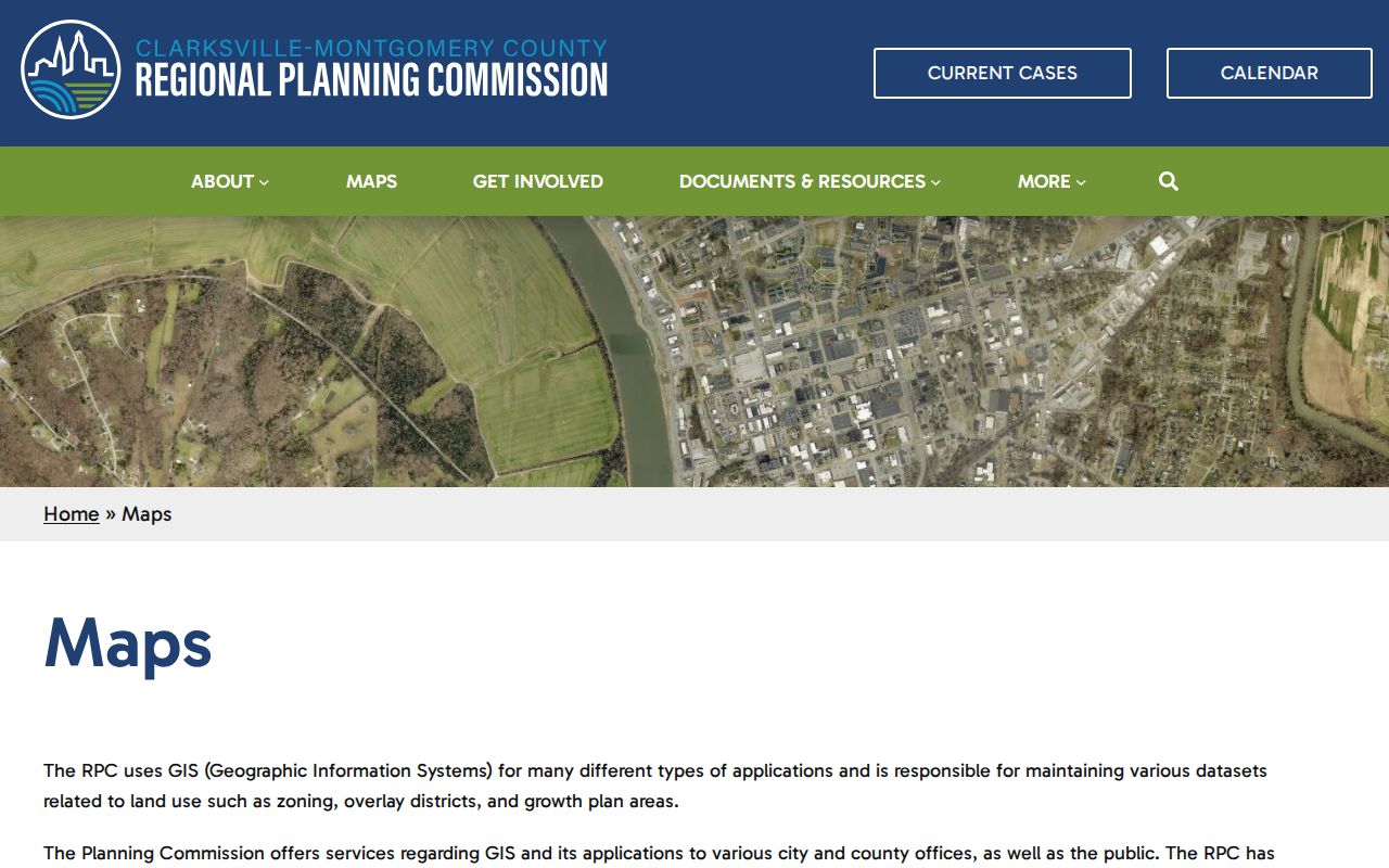
Use the hub to determine records geography, then return to the Assessor, Register, or USPS for the distinct parcel, document, or delivery question.
Clarksville Street Permit Clues
Permits and notices of completion can add dates to a Clarksville street record trail. County Building and Codes routes address assignment in an established subdivision through the Regional Planning Commission, while Building and Codes issues permits after the required documents are supplied. A recorded notice of completion can identify an owner or contractor, the address or lot, and a completion date. City work belongs with the city custodian when the address is within that jurisdiction.
No public historic permit-search form was documented for Clarksville. Use the proper city or county counter, telephone route, or a narrow Tennessee Public Records Act request that names the address or parcel, date span, and desired items such as permit number, application date, issue date, inspection or final date, and work description. Tennessee citizens have an inspection or copy right under the Tennessee Public Records Act, Tenn. Code Ann. § 10-7-501 et seq., unless another law closes the record. A custodian that cannot respond promptly must, within seven business days, provide the record, deny it in writing with grounds, or explain the production time in writing.
Clarksville Street Names and E-911
The Regional Planning Commission manages city/county addressing, GIS, development review, and the Master Street Address Guide. Its Addressing Manual restricts certain base-road-name forms, and Clarksville's ordinance allows the Commission to address duplicate or multiple road names for E-911 clarity. That is a reason to preserve a deed's legal description, plat reference, and the spelling printed in each older source before deciding two Clarksville street labels are the same place.
No authoritative source in the research identified a Clarksville-wide historic renumbering date or a general renaming year. For a particular old address, ask the RPC or Montgomery County Archives for a specific old/new-name, annexation, directory, or plat record rather than importing a change history that has not been documented.
Note: A map label, parcel identifier, and recorded legal description should remain separate notes until the underlying records match.
Clarksville Street Directory Time Clues
For an earlier period, request a particular street section or reverse listing from the Brown Harvey, Sr. Genealogy Room or the Montgomery County Archives. The documented Clarksville directory leads include Williams' Clarksville Directory, City Guide and Business Mirror for 1859–1860, a 1895 directory, and selected volumes from 1911 through 1959. A local shelf inventory for every edition was not confirmed, so give staff a surname, address, date range, and the type of record sought. A listing is useful because it is dated, not because it proves continuous residence or ownership.
Archives research also reaches deeper than the web: deed books run from 1788 to 1997, probate records from 1796 to 1990, and historic court material can add context when a property transfer reflects an estate. The historical collections themselves are described in the Clarksville city directory resource, while this address path remains focused on matching a street and date.
Clarksville Street Directory Limits
A Clarksville street directory can document parcels, assessed ownership, recorded transfers, and dated address clues. It cannot establish a complete current occupant list. Utility customer lists and motor-vehicle address data are not public resident rolls. The Tennessee voter lookup is person-specific and has no public street browse. A missing result also does not justify an inference, because records may be protected, incomplete for the question, or held by another custodian.
Tennessee Safe at Home may protect an eligible participant's address through a substitute-address program, and it does not authorize anyone to infer or bypass protected information. A property mailing field, a situs address, and a directory line must remain what they are: records with limited, dated purposes.